

The network held map exhibitions and organized and participated in debates on the importance of understanding territorial transformations in order to promote mitigation, adaptation, and resilience to climate change
December 12, 2025
At COP30, the United Nations Climate Change Conference in Belém, which took place from November 10 to 21 (with final agreements being reached on November 22), MapBiomas promoted a series of activities that highlighted the relevance of using data and maps of territories to face the challenges of climate change.
Among the actions carried out by the network in Belém were an exhibition of maps on land cover and land use in Brazilian biomes, conversations with experts aboard a vessel that sailed the waters of the Belém region, and participation in debates and panels in official spaces and those of partner institutions. Check it out:
Exhibition of maps of Brazilian biomes
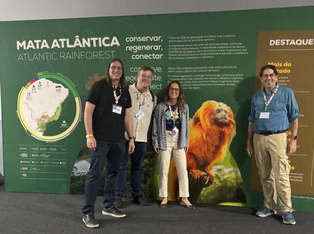
An exhibition featuring historical series, maps, and images of Brazil's biomes occupied 40 meters of space in the corridors of the Blue Zone, the official negotiation space of COP30.
The aim was to promote a visual experience and highlight the connection between the conference's central themes, such as mitigation, adaptation, and resilience, and the data from each biome.
Debate on sustainable credit
On November 13, Tasso Azevedo, General Coordinator of MapBiomas, participated in the panel “Sustainable Credit: The MapBiomas Experience,” alongside Leonardo Maranhão Busatto, Director of Planning at the Regional Development Bank of the Far South (BRDE), and Gustavo Bastos Soares, National Manager of Specialized Agribusiness Support at Sicoob.
The session was moderated by Tiago Peroba, Head of the Clients and Institutional Relations Department at BNDES.
The panel highlighted how MapBiomas data and maps have been used, for example, to prevent the release of funds and credit to rural landowners with deforestation alerts on their properties.
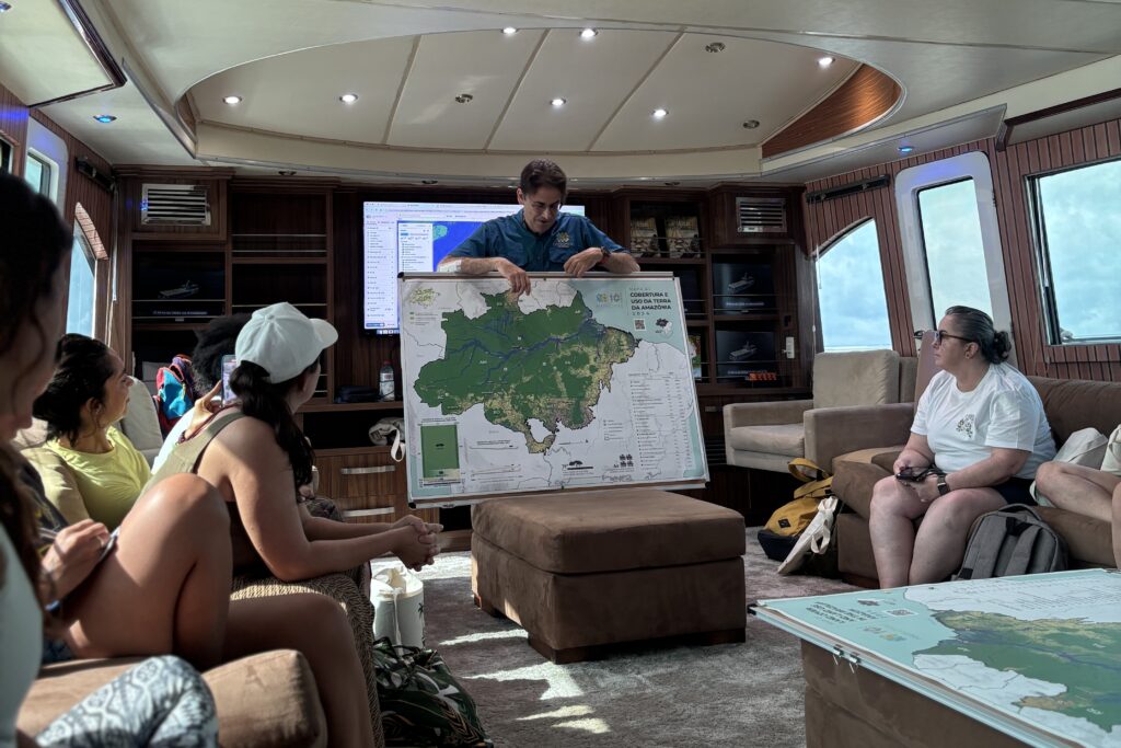
Map of the Amazon on a vessel
Amazônia 2030, Bemol, the Amazon Entrepreneurship Center, and Uma Concertação pela Amazônia held the “Jornada Amazônia Viva” (Living Amazon Journey), where guests were invited aboard a vessel to participate in lectures and conversations. MapBiomas presented the 10th collection of annual land cover and land use maps of the Amazon, pointing out the transformations that have occurred in the territory over the last 40 years.
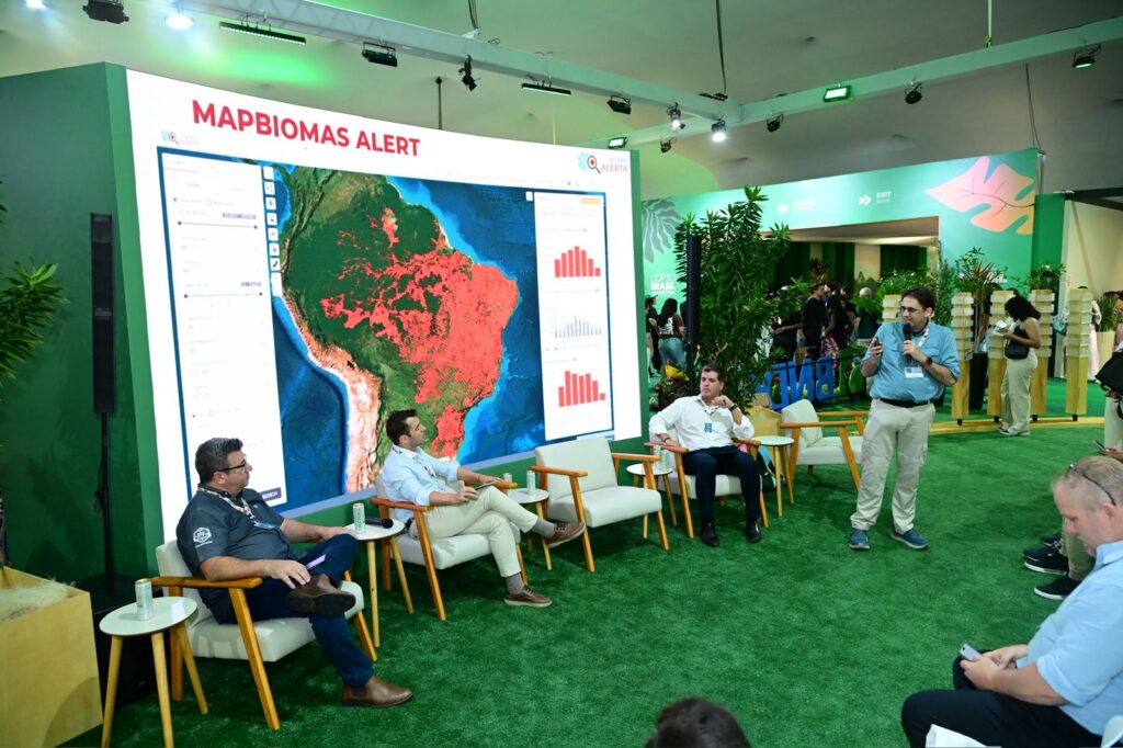
Panel on land use monitoring and climate action
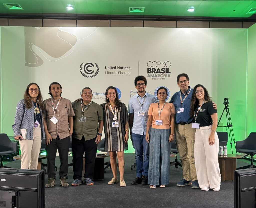
MapBiomas' main event took place on November 19, with the panel “Monitoring land cover and land use change in the tropics to support climate action,” held in the Parnaíba room of the Blue Zone, one of the official spaces of COP30, with the participation of international network members and experts.
Tasso Azevedo, General Coordinator of MapBiomas, explained that monitoring and understanding transformations in the land use sector is vital for a country like Brazil. The country, which is the fifth-largest global emitter of greenhouse gases, sees 75% of its emissions originate from this sector, including deforestation, agriculture, and other activities.
“We want to better understand the processes occurring in the territories to gain insights into climate-friendly practices and those that should be avoided, such as those that cause degradation,” Tasso stated.
According to Tasso, 80% of land use changes are happening in countries with tropical forests. Therefore, one of the network's goals is to generate data and maps for 70% of tropical forests by 2030, covering 20 countries.
The panel also included participation from Timer Manurung of MapBiomas Indonesia and Nicole Moreno of MapBiomas Peru. Both presented the history and main products of the networks in their respective countries.
MapBiomas Indonesia, created in 2018, includes mappings related to the habitats of endangered animals, such as orangutans and elephants, and changes occurring with the relocation of the country's capital from Jakarta to Nusantara, the construction of which began in 2022. According to Timer, the network aims to encourage the creation of more monitoring and land use mapping networks in Southeast Asian countries.
MapBiomas Peru, in addition to mapping Peruvian biomes, has expanded the classes for the Water module, providing data on glaciers and lagoons formed by melting ice. Two editions of the MapBiomas Peru Award have also been held, Nicole Moreno noted.
The event concluded with a panel featuring Felipe Barcelos from IEMA/SEEG, Paula Bernasconi from the "Do Pasto ao Prato" (From Pasture to Platter) initiative and app, and Joni Aswira Putra from the Society of Indonesian Environmental Journalists (SIEJ), along with Timer, Nicole, and Tasso. The session was moderated by Julia Shimbo, Scientific Coordinator of MapBiomas. Different situations and case studies of the network's data usage were presented.
Debates with different sectors of society
Throughout the two weeks of the COP in Belém, MapBiomas members participated in various debates. Ane Alencar, coordinator of the network's Fire Working Group and Science Director at IPAM, spoke, among other events, about the role of the Amazon and the Cerrado in the climate agenda on a panel organized by the Interstate Consortium for the Sustainable Development of the Legal Amazon on Sino-Brazilian experiences in forests and infrastructure. She also shared information and reflections in a debate on integrated fire management alongside André Lima, Extraordinary Secretary for the Control of Deforestation and Territorial Environmental Planning of the Brazilian Ministry of the Environment, and representatives from international organizations and governments.
Julia Shimbo, Scientific Coordinator of MapBiomas, was present at several panels, including a debate held at the Peoples' Summit on the climate crisis, water injustice, and alternatives to combat deforestation and fires, where she spoke about MapBiomas' work to map and show changes in land cover and land use.