

MapBiomas presented data from Collection 10 at the 3rd International Conference on Climate and Development in Semi-Arid Regions
October 6, 2025
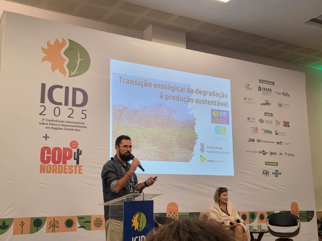
Data for the Caatinga biome, consolidated from MapBiomas' Collection 10 of annual land cover and use maps—covering the period from 1985 to 2024—was presented at a workshop held on September 18. The event was part of the side activities of the 3rd International Conference on Climate and Development in Semi-Arid Regions (ICID III) in Fortaleza (state of Ceará).
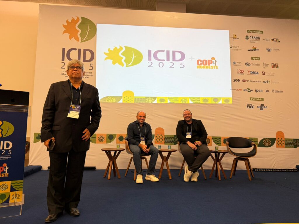
The event, titled "Workshop for Caatinga Biome Specialists: Conservation Challenges and Strategies in the Face of Climate Change," brought together experts and researchers from various institutions. It began with the launch of a publication highlighting the annual mapping of the biome's cover and the transformations that have occurred in the territory over the last four decades. The launch featured Washington Rocha (State University of Feira de Santana – UEFS), Rodrigo Vasconcelos (UEFS), and Diego Costa (MapBiomas), all members of the MapBiomas network's Caatinga team.
In addition to roundtables, the workshop included thematic discussion groups to evaluate MapBiomas products related to the Caatinga and discuss new perspectives and possibilities for data use. The event concluded with a plenary session to define strategic recommendations for the conservation and sustainable development of the Caatinga, which will be compiled into a document.
"One of the main decisions was the creation of a network of Caatinga researchers. It will be a kind of data repository for the biome," says Rocha. The goal is for this repository to house MapBiomas data alongside contributions from members of this new network, featuring tools that allow researchers to intersect data. Plenary participants also volunteered to assist with data validation. The next step is determining how to make the structure of this network viable.
Impact of Caatinga data
Collection 10 introduces a new legend class: the mapping of photovoltaic (solar) power plant areas. The data shows that in 2024, of the 35,300 hectares mapped across the country, 21,800 hectares (62%) are located in the Caatinga, particularly in the state of Minas Gerais. Most of these converted areas were previously forest formations, savanna formations, or pastures.
This information was one of the aspects that garnered the most attention from the press and various industry stakeholders, according to Rocha. While solar energy generation is vital for Brazil’s renewable energy matrix, these plants represent a new form of land use that requires reflection. For Rocha, this is a new "driver" that could impact the biome's integrity. "As this driver intensifies, it represents a projected threat," he states.
The Caatinga data further reveals that the biome—which occupies 86.2 million hectares (10.1% of Brazil's territory)—has suffered a loss of 9.25 million hectares of natural areas over the last 40 years (1985–2024), equivalent to 14% of its original cover. Agricultural expansion was the primary driver of this transformation. here.