Since 2015, the network's trajectory has been marked by technical breakthroughs, international expansion, and a growing user base. Check it out!
September 9, 2025
In 2025, the MapBiomas network will mark its tenth anniversary of analyzing data and producing annual maps of land cover and land use across Brazilian territory. Over this period, there have been many advances, including continuous improvements, the expansion of the network of collaborators, and international growth. After a decade, the network is now present in 14 countries, and the data is used in various projects that generate positive impacts.
During the 10th MapBiomas Annual Seminar, marked by debates and the launch of MapBiomas Collection 10 of land cover and land use maps, a timeline showcasing the network's key moments was presented. Check out the milestones that were highlighted:
The Beginning of MapBiomas: A question and a providential fire
It all started with a question and a timely fire. In March 2015, a workshop was held in São Paulo, organized by the Greenhouse Gas Emission and Removal Estimating System (SEEG) team, aimed at answering one question:
Would it be possible to map the annual historical changes in land use across the entire Brazilian territory quickly and at a low cost? The experts' conclusion was yes, it was possible, provided it was done collaboratively, with a high degree of automation, and adapted to the conditions of each biome or region. It would also require access to all available satellite imagery and high data processing capacity—such as Google’s.
In April of that same year, during a debate at the Skoll World Forum in Oxford, Tasso Azevedo, then coordinator of SEEG, met Rebecca Moore, Director of Google Earth. While they were at the event, their hotel caught fire, and the two spent hours talking. From this conversation emerged the commitment to collaborate using the newly launched Google Earth Engine platform to create annual land cover and land use maps—the idea that would give birth to MapBiomas.
From this conversation emerged the commitment to collaborate on using the newly launched Google Earth Engine platform to create annual land cover and land use maps—an idea that would eventually give rise to MapBiomas.
2015
Launch of the BETA COLLECTION of annual land cover and land use maps in Brazil (period 2008–2015)
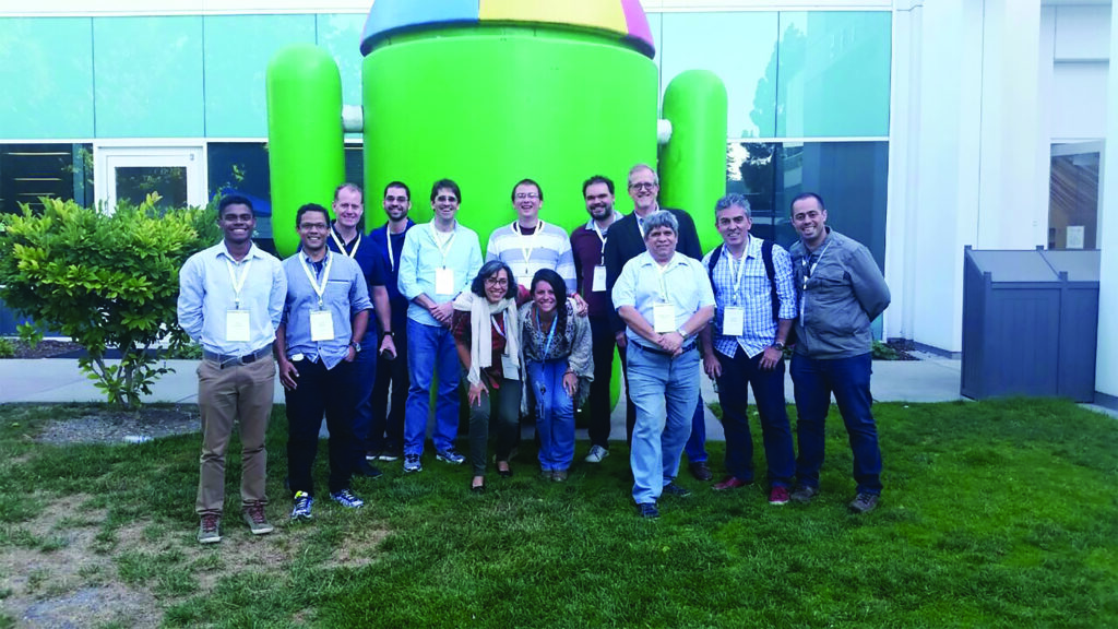
- At the Google Earth Engine User Summit, the team learns about automated classification and cloud processing.
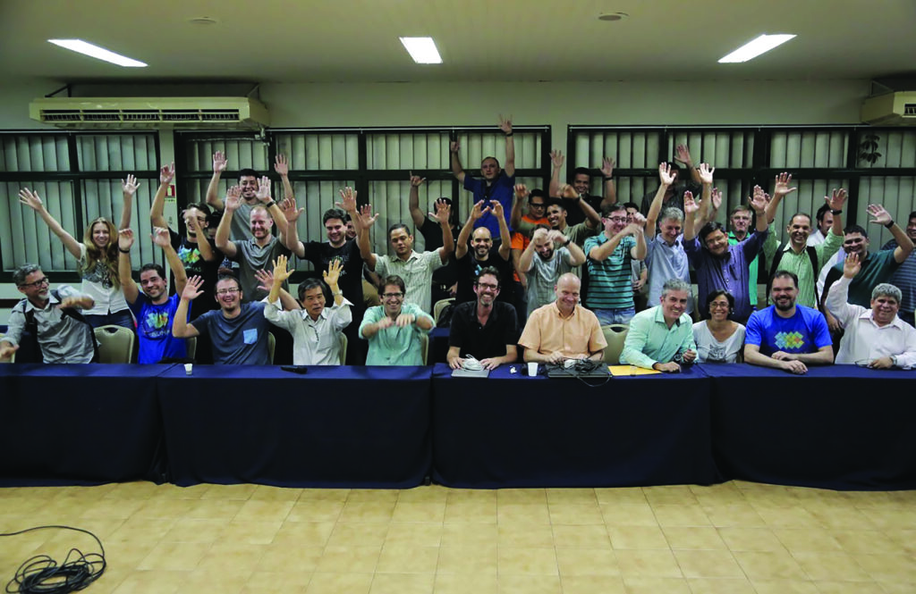
- The group meets at the Moore Foundation to officially start MapBiomas.
- The Beta Collection is presented at the Paris Climate Conference (COP 21).
- MapBiomas becomes the first initiative to bring land cover and use data from all Brazilian biomes onto a single platform.
2016
Launch of COLLECTION 1 (2008–2015) at the 1st MapBiomas Annual Seminar, featuring 7 land cover and use classes. Platform users: 5,659.
- The Accuracy Working Group is created to develop map validation strategies.
- International expansion begins, aiming to support local institutions in other countries. The first initiative is Gran Chaco (Argentina and Paraguay).
2017
COLLECTION 2 (2000–2016) introduces 13 land cover and use classes, expanding the historical series with classifications aligned with IBGE, FAO, and IPCC. Platform users: 20,685.
- The first meeting of the Scientific Advisory Committee takes place.
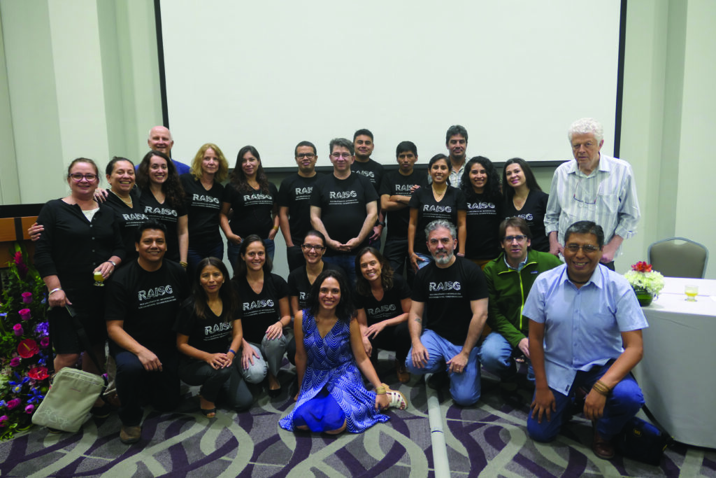
- The initiative expands to map the entire Amazon with institutions from the Amazon Geo-Referenced Socio-Environmental Information Network (RAISG).
2018
19 land cover and land use classes are presented in COLLECTION 3 (1985–2017), which includes previously unpublished data on infrastructure (energy and transportation). Number of platform users: 48,375.
- That year, prior to Collection 3, Collection 2.3 was released, introducing a new automated classification method based on machine learning. This enabled continuous improvement and greater efficiency in data processing and analysis.
- Start of the collection of 100,000 sample points for the accuracy assessment of the land cover and land use maps.
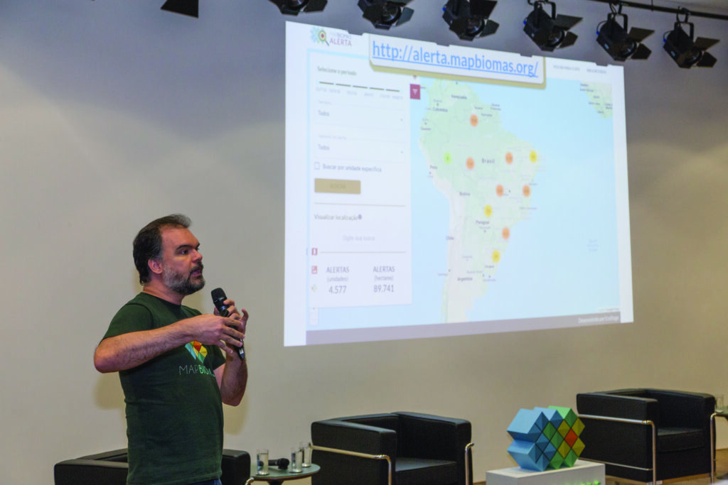
- Launch of MapBiomas Alert (beta version) for the weekly validation of deforestation alerts.
2019
COLLECTION 4 (1985–2018) features 19 land cover and land use classes in the legend. New modules for deforestation and secondary vegetation are also presented. Platform users: 97,993.
- Collection 3.1 brings a standardized accuracy analysis for all biomes and the national territory.
- MapBiomas Alert begins to validate and report all deforestation detected in Brazil.
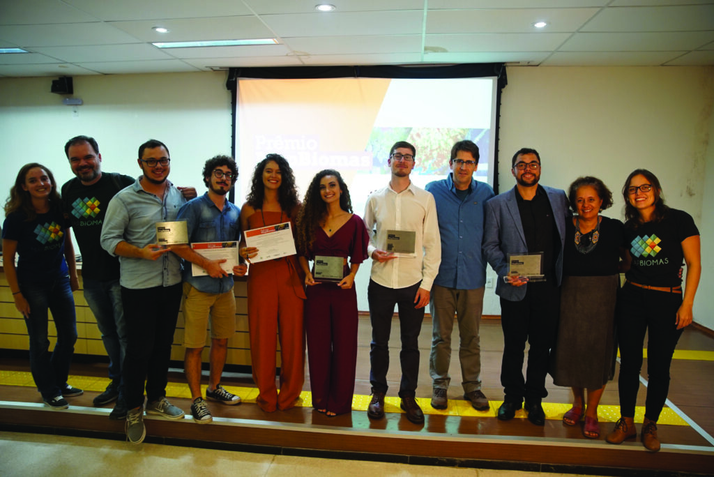
- The 1st edition of the MapBiomas Award takes place, an award ceremony that recognizes impactful work carried out using data from the platform.
- Launch of the 1st Amazon Collection.
- MapBiomas data is incorporated into the 7th edition of the Greenhouse Gas Emission Estimates (1990–2018) by SEEG/Observatório do Clima (OC).
- International expansion with workshops in Indonesia and Paraguay, in addition to the 1st Chaco Collection (2010–2017).
- Production of the first video documentaries (available on YouTube), which show how data is used to generate knowledge and positive impact.
2020
COLLECTION 5 (1985–2019), with 21 land cover and land use classes, features new modules: pasture quality and irrigation. Platform users: 152,776.
- A partnership with the GeoCovid portal is developed to monitor and project the evolution of the pandemic.
- Launch of Collection 1 of MapBiomas Fire.
- The 1st scientific article featuring the MapBiomas land cover and land use mapping method is published in Remote Sensing. Remote Sensing.
- Launch of the 1st Annual Deforestation Report (RAD), which analyzes and consolidates deforestation alerts in Brazil.
2021
COLLECTION 6 (1985–2020) features 25 land cover and land use classes to the legend, with a new mining module and new agriculture classes. Platform users: 244,392.
- Indonesia, the first country outside of South America, presents its 1st Collection.
- Launch of the 1st Collections for the Pampa and the Atlantic Forest (Bosque Atlântico), with the expansion of the initiative to Argentina, Paraguay, and Urugu
- The MapBiomas Water initiative indicates a trend of water surface loss in Brazil.
2022
27 land cover and land use classes in the legend compose COLLECTION 7 (1985–2021). The collection shows that one-third of the native vegetation loss occurred in the last 37 years. Platform users: 341,225.
- Based on the cross-referencing of deforestation alerts, the new Law Enforcement Monitor (Monitor da Fiscalização) brings information on the enforcement and authorization of deforestation in Brazil.
- Start of MapBiomas Soil, which maps soil organic carbon.
- MapBiomas receives the 2022 Skoll Award for Social Innovation.
- Launch of the Fire Monitor, which provides monthly data on Brazilian biomes.
2023
COLLECTION 8 (1985–2022) presents 29 land cover and land use classes in the legend. Data shows that native vegetation loss accelerated in the period from 2013 to 2022. Platform users: 655,333.
- The 1st collection of maps with 10-meter spatial resolution (2016–2022) based on Sentinel-2 satellite imagery, is released.
- The network receives the Collective Social Innovation Award from the Schwab Foundation for Social Entrepreneurship.
- MapBiomas Water expands to the Amazon Basin.
- Launch of the first map collections for Bolivia, Colombia, Ecuador, Peru, Paraguay, Uruguay, and Venezuela.
2024
29 land cover and land use classes in the legend compose COLLECTION 9 (1985–2021), which features the beta version of shallow-water coral reef mapping. It also includes new modules: degradation and urban. Platform users: 702,880.
- The new Rural Credit Monitor shows the origin of public financing and its relationship with land use changes.
- MapBiomas is awarded by The Audacious Project, a global collaborative funding program between TED and NGOs.
- The first collections for Chile and Argentina are launched. With this, the MapBiomas network completes the land cover and land use mapping for all of South America.
- Publication of Technical Notes on the impacts of extreme weather events, such as the floods in Rio Grande do Sul and droughts in the Pantanal.
- MapBiomas was cited 19,400 times by national and international media in 2024 alone.
2025
COLLECTION 10 (1985–2024) introduces the beta version of the new legend class for photovoltaic power plants, totaling 30 classes. With this collection, the network recounts 40 years of Brazilian history through land cover and land use maps.
- BNDES announces that, based on MapBiomas data, it has prevented the release of R$ 728 million in rural credit to owners with illegal deforestation alerts since 2023.
- Launch of the 1st Annual Fire Report (RAF 2024).
- Since the network was created, citations of MapBiomas in scientific articles have exceeded 4,000.
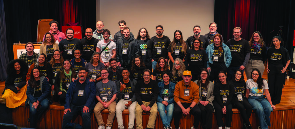
- The 1st MapBiomas User Summit takes place, created to promote interaction and connection among platform user
- MapBiomas launches a new version of the platform, which features 3D maps, cross-references different themes, and utilizes artificial intelligence tools to provide more speed and effectiveness to user research.