

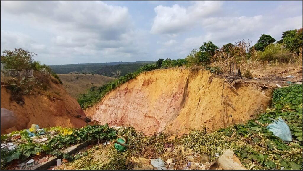
This year, MapBiomas launched the mapping of erosional features in Brazil focusing on gullies (‘ravinas’ and ‘voçorocas’)The mission is to map the extent of these areas and to understand their spatial and temporal dimensions across the national territory. To make this work possible, we are building a database of gullies in the country from any year and any location. These records can range from a single point indicating a gully's position to the complete delimitation of the eroded area.
We rely on the the collaboration of partners willing to share their data and support the development of this initiative of great national importance. All received data will be organized and made available for reuse in the SoilData repository, a free and collaborative online platform that gathers field and laboratory research data and results regarding Brazilian soils.
Currently, gully data can be shared in two ways:
- By email: Send your database to contato@mapbiomas.org, preferably in a georeferenced format or containing geographic coordinates and the year of collection.
- Directly via the SoilData repositoryTo do this, access the SoilData, create an account (sign up), register the metadata, upload your files, define the terms of use, and submit the data for review. Consult the user guide to learn more.
Regardless of the submission method, all data will be available on SoilData under terms of use defined by the data authors, and each dataset will receive a DOI to ensure traceability and reproducibility. Your collaboration is essential to the success of this initiative. If you have any questions, please contact us at: contato@mapbiomas.org