

MapBiomas’ new collection of Brazilian soil data reveals a stock of 37.5 gigatonnes and offers unprecedented data on the entire Brazilian territory.
December 5, 2025
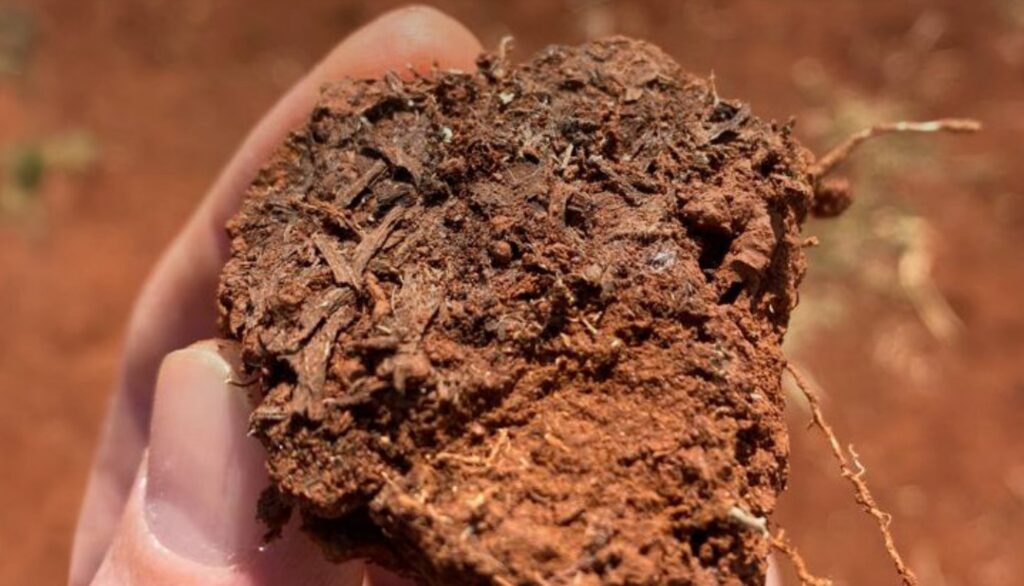
Brazil holds a total mass of 37.5 gigatonnes (Gt) of soil organic carbon (SOC) in the 0 to 30-centimeter layer, with an average of 44.1 tonnes per hectare (t/ha). More than half (52%) of this total is located in the Amazon. These are some of the new findings from MapBiomas Soil. Developed by the MapBiomas network, the platform integrates data from the new Collection 3 (beta) of annual soil organic carbon stock maps between 1985 and 2024, as well as maps of particle size, texture, and the depth of stony layers within 100 centimeters of the soil across the entire Brazilian territory. All information is available for free on the website https://brasil.mapbiomas.org as of December 5, celebrated as World Soil Day.
“The soil is an archive of time: it accumulates signs of climate, vegetation, and relief that have shaped the territory throughout history. The distribution of organic carbon is an example of this. Understanding these patterns means looking at the country through what is preserved below the surface,” explains Professor Alessandro Samuel-Rosa, one of the coordinators of MapBiomas Soil. “These maps of Brazilian soil properties, such as carbon, texture, and stoniness, allow for advances in analyses focused on agricultural and urban land use, such as water storage, susceptibility to erosive processes and mass movements, climate risk assessment, and territorial planning,” adds Professor Taciara Zborowski Horst, who also coordinates the initiative.
The data reveals that 35.9% of Brazilian soil stores between 40 and 50 t/ha of carbon. The Atlantic Forest exceeds the national average for storage per hectare at 53.4 t/ha, home to colder regions (such as high-altitude grasslands and Araucaria forests) and humid areas (such as restingas and mangroves) that favor carbon accumulation below the surface. In second place is the Amazon, with 46.3 t/ha, followed by the Pampa, with 43.7 t/ha. In both biomes, the largest soil organic carbon stocks are found in floodplain forests (várzeas), such as those near the Rio Negro in the Amazon, and in the coastal zone.
The relationship between soil composition and land use
For practical purposes, soil composition is usually grouped into texture classes, which reflect the ratio of sand, silt, and clay. The new data shows that in the 0–30 cm surface layer, medium texture predominates in 63.4% of the Brazilian territory, followed by clayey soils (29.6%), while the sandy, silty, and heavy clay classes combined represent only 7% of the national area. In addition to surface differences, the maps explicitly show how soil texture can change at depth: between 60 and 100 cm, the country becomes predominantly clayey (63.6%).
Brazilian soil texture reveals striking contrasts between biomes. In the Atlantic Forest, soils with clay content exceeding 60% predominate, providing a higher capacity for water storage and retention of nutrients and contaminants, while allowing organic carbon to remain stored for long periods. In contrast, the Cerrado, Caatinga, and Pantanal concentrate areas with sand content above 60%—soils where nutrient and carbon retention capacities are lower and water infiltration and evaporation occur more quickly, resulting in less available water in the soil. At the same time, ease of infiltration contributes to aquifer recharge during the rainy season. Meanwhile, the highest silt contents, generally below 30%, occur mainly in the Amazonian floodplains, associated with sediments transported from the Andes by the large rivers that feed the Amazon system, where large amounts of carbon also accumulate
“The data helps explain why different environments respond in distinct ways to land use and climatic conditions. For example, a change in texture at depth can have different effects depending on land cover or use. Under natural vegetation, perennial crops, or abundant ground cover, it can increase the availability of rainwater that slowly infiltrates the soil. On the other hand, in bare, tilled, or sparsely vegetated soils, textural change tends to hinder infiltration and increase the risk of soil erosion. This effect intensifies with extreme precipitation events,” explains Professor Aless
A joint analysis of these soil maps and the historical series of land use and land cover highlights patterns of territorial occupation related to the physical characteristics of the soil. Between 1985 and 2024, pastureland expanded mainly over medium and sandy texture soils, losing ground in heavy clay regions. These areas were mostly occupied by agriculture, which also grew preferentially over areas with low stoniness in the first 90 cm. Conversely, silviculture saw more significant expansion in locations where stoniness appears in the surface layers (<50 cm). “In stonier soils, where agriculture faces limitations, forest species with more robust root systems can exploit the environment more efficiently. Shallower soils, however, are still mostly occupied by pasture,” explains Professor Taciar
The new data shows that 9% of the Brazilian territory (77 million hectares) has soil where more than 50% of its volume is occupied by dominant stoniness in the first 100 cm. Of these, in 27.6 million hectares (3.2% of the territory), the soil is at most about 90 cm deep. Below this depth, the soil meets bedrock or has more than 90% of its volume occupied by rock fragments, gravel, nodules, or concretions (extreme stoniness). In the Caatinga, in particular, the soil becomes progressively stonier at depths between 10 and 50 cm. The greater the soil stoniness, the smaller the space available for root growth and water storage, in addition to hindering agricultural mechanization and urban sanitation works.
The relationship between soil texture and carbon stock
Differences in soil organic carbon stocks become even more evident when analyzed by texture. On average, clayey, heavy clay, and silty soils have the largest stocks, often above 50 t/ha across all biomes, while sandy soils have an average stock of 32 t/ha in the country. In the Caatinga, for example, heavy clay soils have, on average, double the carbon stock of sandy soils, reaching a difference of 35 t/ha.
“In Brazil, the distribution of soil organic carbon stock is markedly heterogeneous, reflecting the climatic, hydrological, geological, and ecological diversity of the territory. This heterogeneity reinforces the importance of understanding each biome in its entirety, considering both what occurs above and below the surface,” the professor highlights. “The integration of these layers, all in high resolution, offers a detailed overview of the horizontal and vertical variation of the soil across the Brazilian territory. This is the first time these patterns can be observed in an integrated manner on a national scale, confirming trends that previously only appeared in local studies,” concludes Taciara.
Public repository of soil samples
In addition to the launch of new soil property maps, MapBiomas Soil also launched an unprecedented platform for the spatial visualization of soil sample data. The platform (https://plataforma.soildata.mapbiomas.org/) allows users to navigate the Brazilian territory, identify where soil samples were collected by researchers and technicians in the past, and download this data for use in their activities. Users can find data on soil texture (clay, silt, and sand), organic carbon, bulk density, and coarse fragment volume from more than 45,000 samples across 15,000 collection points.
The platform is part of SoilData (https://soildata.mapbiomas.org/), the largest public, open-access repository of soil research data in the country. “It is a unique resource for researchers, public managers, consultants, and rural producers, who can now quickly locate reference data, verify monitoring gaps, and compare results from different regions,” explains Professor Alessandro, coordinator of the repository. He concludes: “SoilData's mission is to safeguard and preserve soil research data produced in Brazil, ensure recognition for the authors, and facilitate the reuse of information.”